
Geospatial active learning
Building city-scale maps of roofs, trees, roads and water usually means labelling thousands of images by hand. Active learning lets the computer pick the few images that need a human, and learn from them.
- Efficiency
- About 200% faster annotation
- Presented at
- ACM COMPASS 2025, Toronto
- Uses
- Cool roofs, trees, walkability, waterlogging
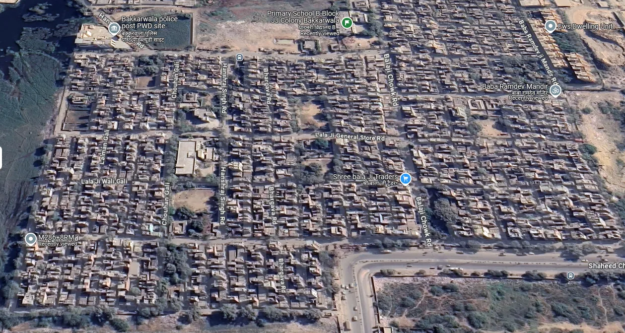
Instead of labelling every building, tree, road or water body, our active learning methods identify the images where the model is most uncertain and ask for human input only there. That makes annotation nearly 200% more efficient, and lets us build high-quality datasets for mapping trees, assessing walkability, detecting waterlogging and planning climate-resilient cities.
How it works
The team designed algorithms that reduce the number of human labels needed to reach good accuracy. Prediction uncertainty drops across the whole city with each annotation session. An improved pipeline uses Cross Time Prediction Variance to filter imagery from multiple dates, and Adaptive Disparity Sampling to correct over-confident mistakes.
Cool roofs from space
One application is a satellite-based cool roof tracker. It tells city administrators, building by building, whether a roof is cool, so they can track how a cool roof policy is being implemented and spot neighbourhoods at risk of heat islands. In Hyderabad, buildings with cool roofs showed land surface temperatures about 4 °C lower than nearby buildings without them.
Who it helps
Scientists and data engineers building city datasets for urban climate analysis, and through them, city planners, researchers and policymakers. The cloud-based algorithms are designed to work anywhere in the world.
Related publication
Sobti, A. and Kumar, Y. “Geospatial Active Learning for Efficient Data Annotation: A Case Study on Cool Roof Detection.” ACM COMPASS 2025, Toronto, Canada.
More in urban microclimate
Urban microclimate
Cool roof policy
Technical support that helped Telangana, Andhra Pradesh and Uttar Pradesh adopt cool roofs and treat heatwaves as a disaster.
Roof of Hope
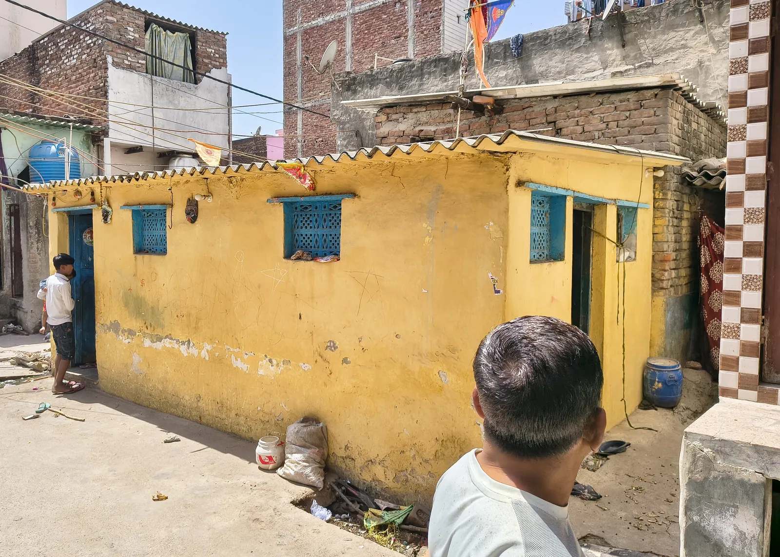
Reflective roofs for homes in a low-income settlement in Delhi, cutting roof temperatures by up to 20 °C.
Climate zones for Indian districts
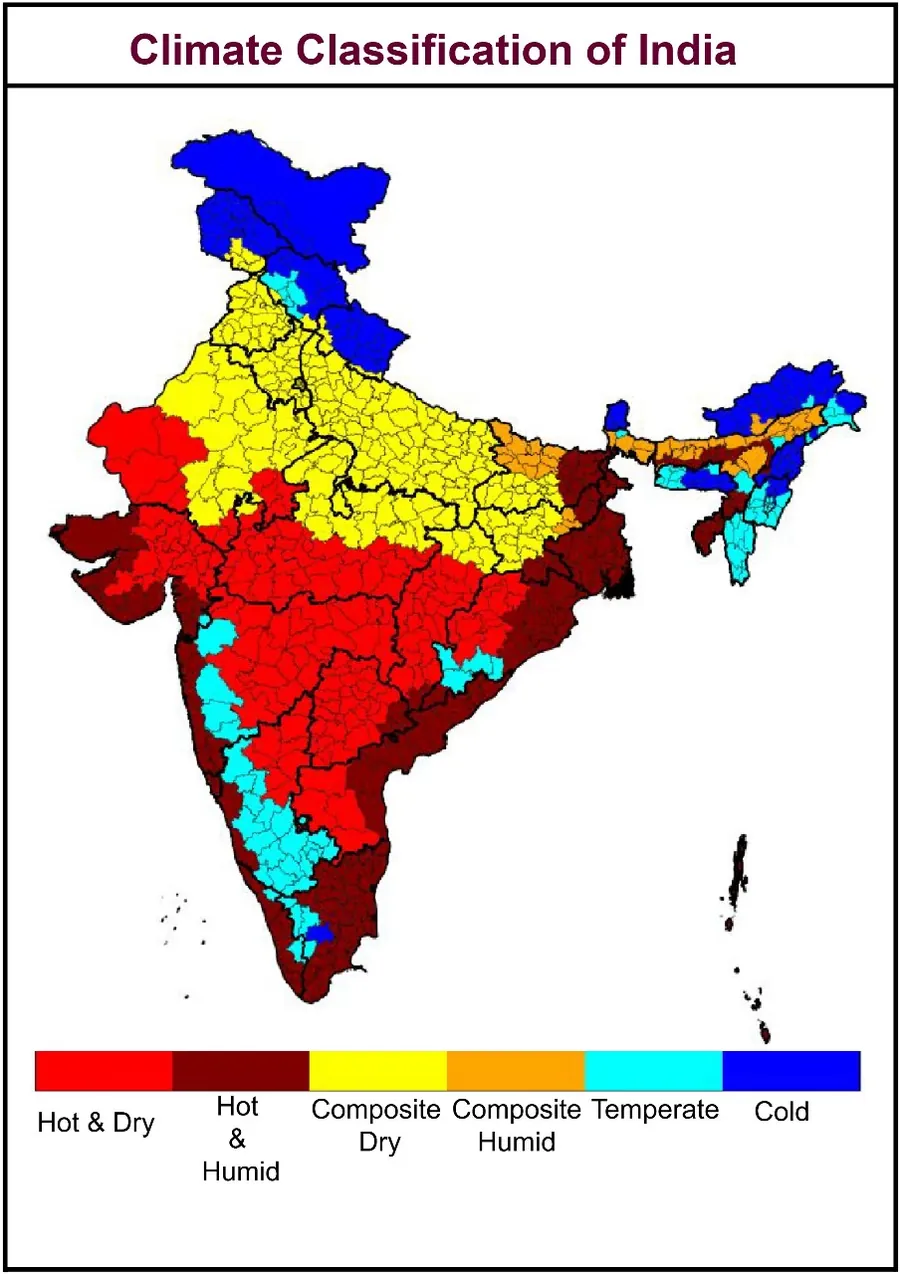
A new climate classification for every district in India, built for building energy performance.