
Urban microclimate
Indian cities are getting hotter. We measure urban heat, model how air and heat move through streets and buildings, and help governments turn proven fixes like cool roofs into policy.
Concrete, asphalt and dark roofs soak up the sun all day and release it at night. The result is the urban heat island: city neighbourhoods that stay several degrees hotter than the land around them. It raises cooling bills, strains the grid at peak hours and puts the people with the least protection, such as families without air conditioning and outdoor workers, at real risk during heatwaves.
What we do
- Policy that scales. We give state governments the technical evidence to adopt cool roofs and heat action plans, from Telangana's first-in-India policy to Andhra Pradesh's building bye-laws.
- Proof on the ground. Our Roof of Hope pilot measures what reflective roofs do for real homes in a low-income settlement in Delhi.
- Better climate data for buildings. We built a new, district-level climate classification for India that links weather to building energy performance.
- Seeing the city from above. We use satellite and street-view imagery with machine learning to map trees, sidewalks, cool roofs and water bodies at city scale.
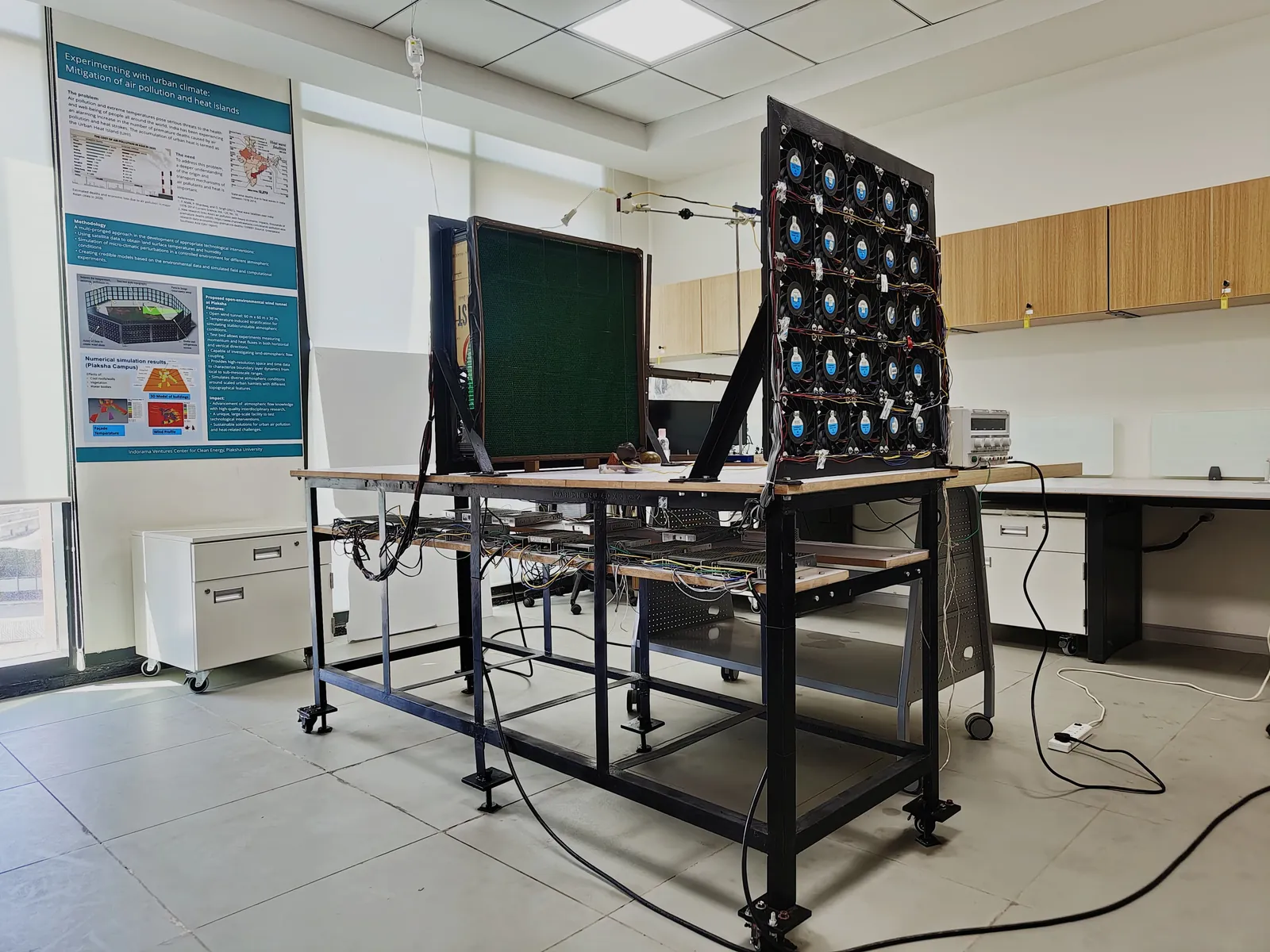
- Experiments indoors. Our energy-efficient wind tunnel lets us study wind flow, ventilation and pollutant dispersion around building models.
Projects

Cool roof policy
Technical support that helped Telangana, Andhra Pradesh and Uttar Pradesh adopt cool roofs and treat heatwaves as a disaster.
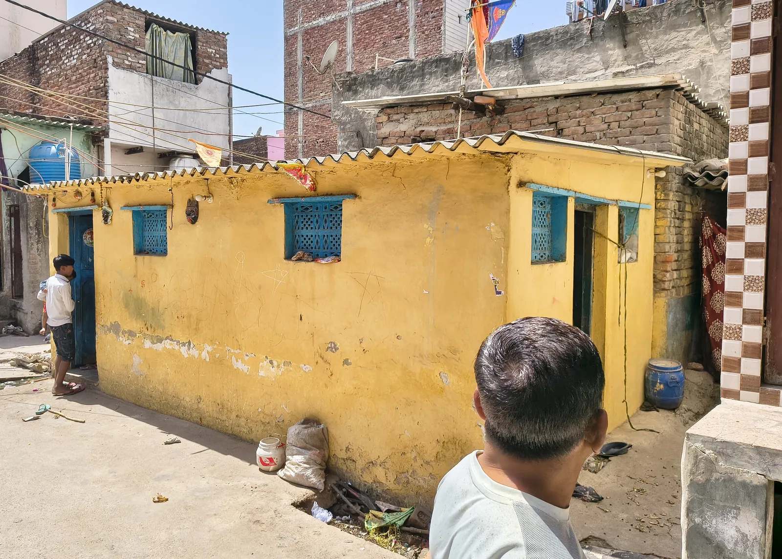
Roof of Hope
Reflective roofs for homes in a low-income settlement in Delhi, cutting roof temperatures by up to 20 °C.
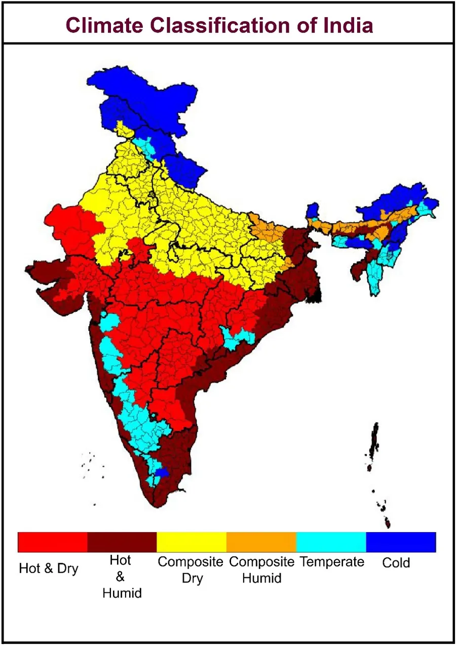
Climate zones for Indian districts
A new climate classification for every district in India, built for building energy performance.
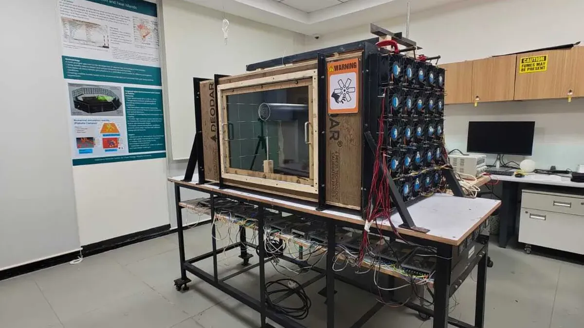
Wind tunnel for urban planning
An in-house, energy-efficient wind tunnel for studying wind, ventilation and pollution around buildings.
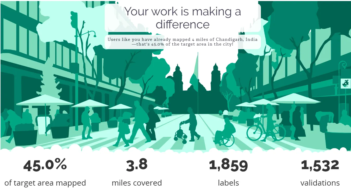
Walkability and Project Sidewalk
AI pipelines that find where cities need footpaths, and tools that help build 200+ km of pedestrian-friendly roads in Uttar Pradesh.
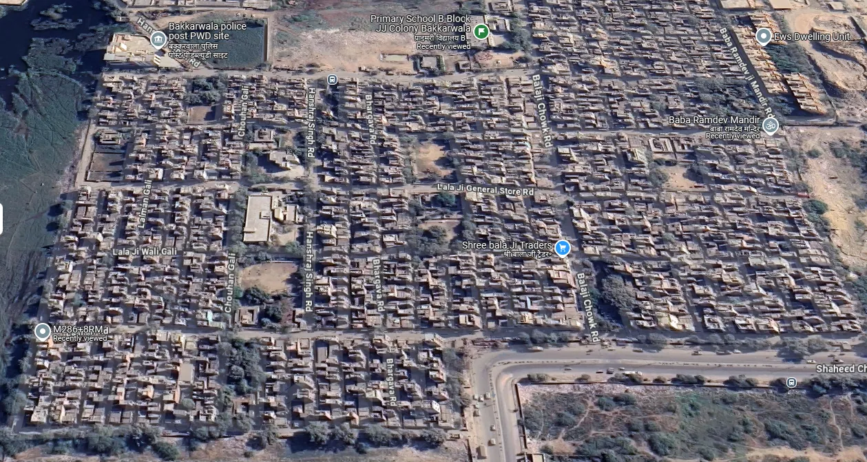
Geospatial active learning
Machine learning that asks humans to label only the images that matter, making city-scale mapping about 200% more efficient.
Automated building plan approval
An AI platform that checks building plans against the rules, for faster approvals and better housing in Ludhiana.